Coastal Kayak Trip at Cape Flattery
2025 Jul 29In the middle of last week my kayaking buddy messaged me to see if I could go on a trip to Cape Flattery and Point of Arches. Cape Flattery is the very farthest northwest tip of the Olympic Pennisula. Point of Arches is about 10 mi south, just beyond Shi Shi Beach. The ocean swells were to be unusually low, so it would be ideal for exploring around the rocks.
I was able to take the time off work, so Sunday I joined them near Neah Bay on the Makah Indian Reservation. We car-camped by Hobuck Beach and day-tripped with the kayaks. For the first day we launched at Neah Bay, went around the tip of Flattery and came back to Hobuck.
Last year I had visited the pennisula and hiked to the Cape Flattery viewpoint. The coast line from there is very beautiful and rugged. There were caves all around, and so I was looking forward to seeing them from the water.
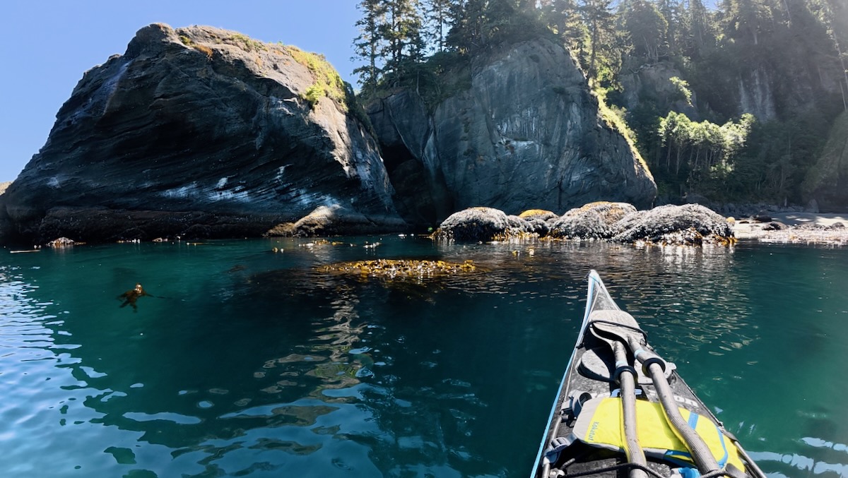
However, when we got to Flattery I was not prepared for how cool it was! There were caves everywhere, some small, some big, and some connected to others. So, those were not just caves - they were tunnels!
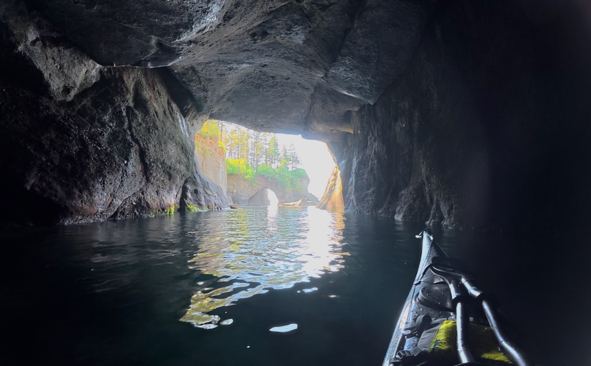
In fact the Cape Flattery trail-end viewpoint (seen above) is on a promontory that has three arches through it! (And I couldn't tell that from the land!)
Some of the caves were huge! They felt sometimes like cathedrals with a small entrance and then a huge, high echoing space inside. Most of the entrances faced west, so the afternoon sunlight lit them up.
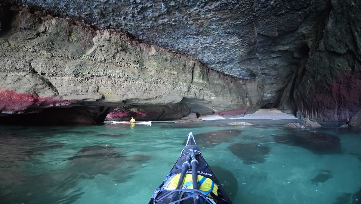
There were hidden beaches too. At this one there were three tunnels on the right side (of the water and beach) that were all connected together, and connected to entrances on the other side of that point.
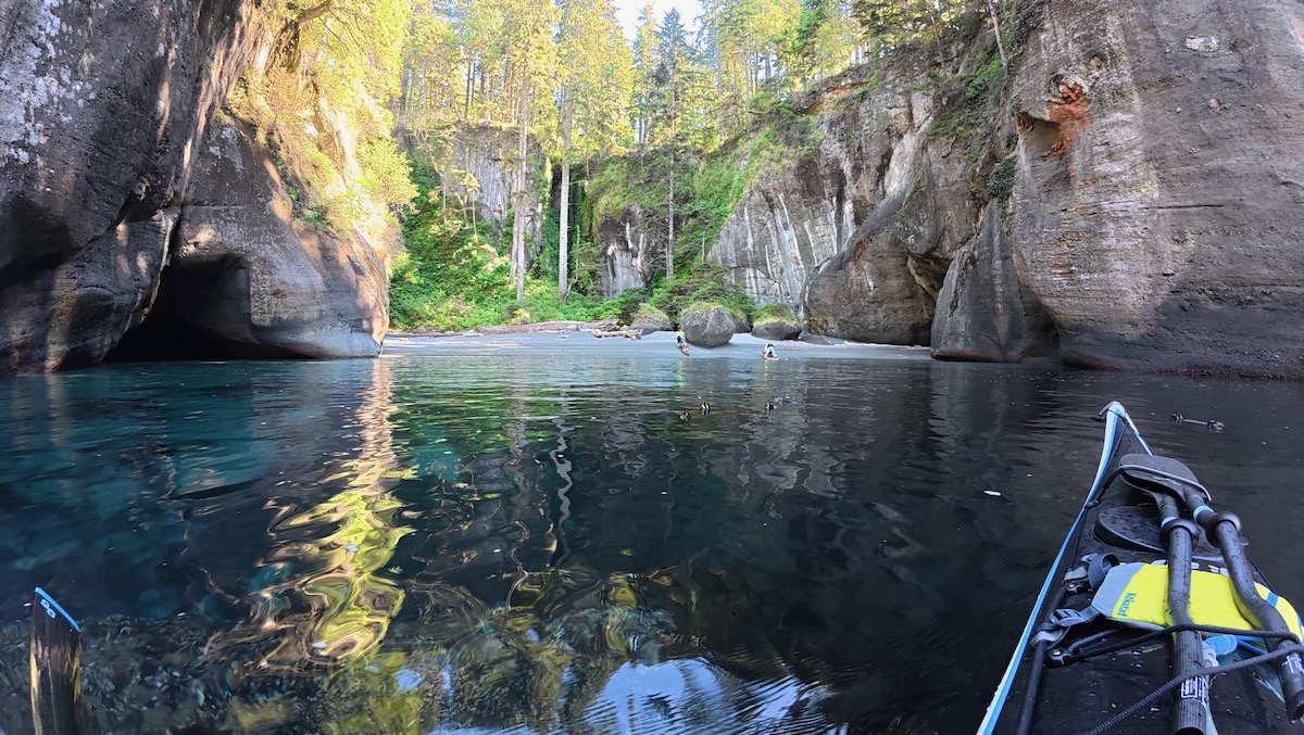
The low swells allowed us to go into narrower caves than was usual. There was one long tunnel that was so dark that I turned on my phone flashlight to make a tiny bit of light to help avoid scraping the walls. I had just bought an action video camera and took some videos of transits through these tunnels. Even watching them again is so incredibly cool!
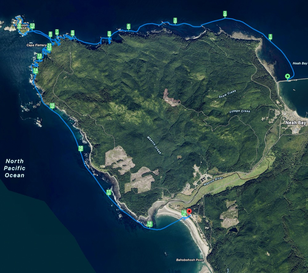
We also crossed to Tatoosh island and explored the extensive caves there. •••
The rock in the area was originally undersea sedimentary rock that was uplifted because the Pacific crust subduction zone in our area. It is a concretion of various smooth aggregate rocks with a somewhat softer binding matrix. Erosion from the energetic ocean swells formed and scoured out the caves.
The next day we went to Point of Arches.
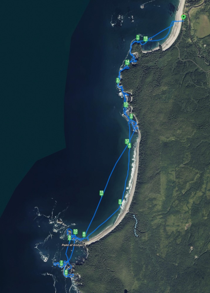
It is a collection of rocky islands at the south end of Shi Shi Beach.
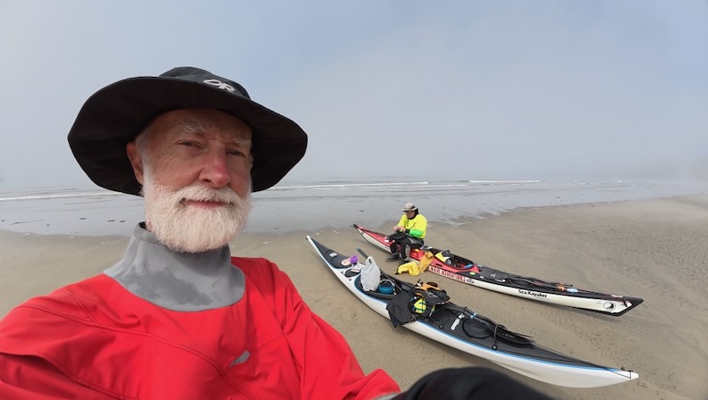
They also have tunnels that can be kayaked (but are shorter than Flattery's). One of the larger islands had three passageways through it. In fact in a picture I took toward the islands last year, you can see one of these as a distant hole in the island. And I kayaked through that hole!
