Kayaking trips 2024
2024 Dec 28Lake Cavanaugh; December 28
- 8 mi
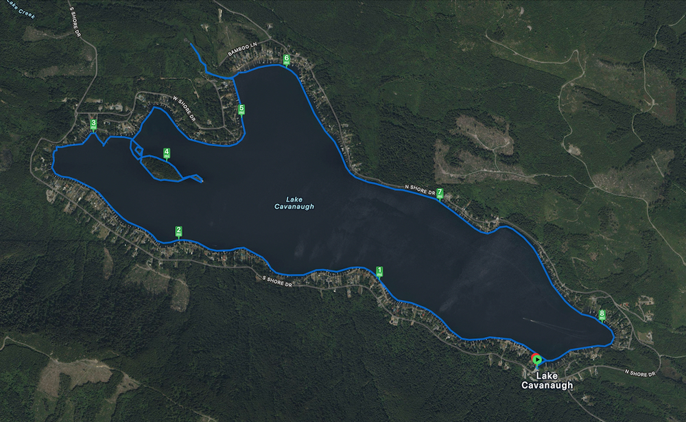
Comfortably cold day with rain most of the loop. Lovely with gray clouds coming down the ridge. Sometimes couldn't even see the end of the lake because of the clouds. Texted Melanie by satellite.
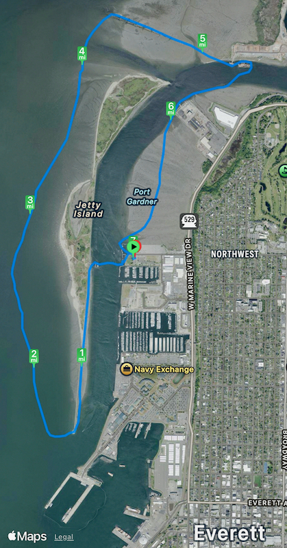
Looped around island remembering when we had visited with our Sea-Doo boat. Family of Austin's friend Carrie owned half the island. They were hosting a campout, and we took some of them wakeboarding.
Jetty Island; November 11
- 7 mi
S against a good wind, but in the lee of the island. N with the wind, so some surfing and lots of busy lumpy water. Turned at the sunken wooden ships; they have significantly deteriorated from when we first saw them. Into the teeth of the wind again while returning.
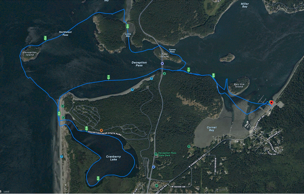
Deception Pass; July 19
- 8.8 mi, Deception Pass area.
Through the pass against the current both ways. (First time to do so successfully.) Out Canoe Pass, returning by Deception Pass.
Around Cranberry Lake; surpisingly warm water.
Shaw, Lopez, James Islands; April 18 - 21
Blog: Kayak Camping: Shaw, Lopez, James Islands
- Day 1: 17 mi from Orcas Island to Shaw Island County Park
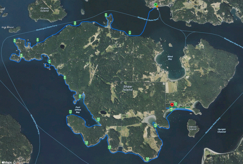
- Day 2: 12 mi to Spencer Spit State Park
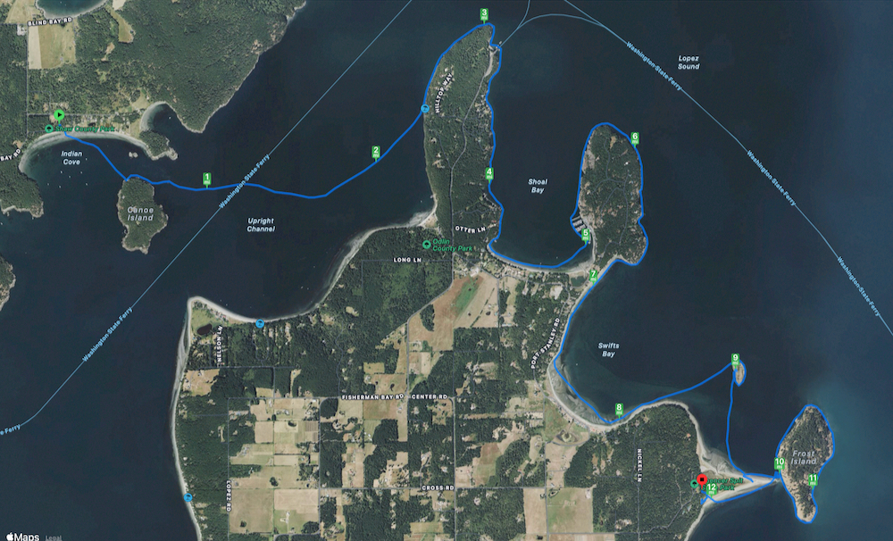
- Day 3: 5 mi to James Island Marine State Park
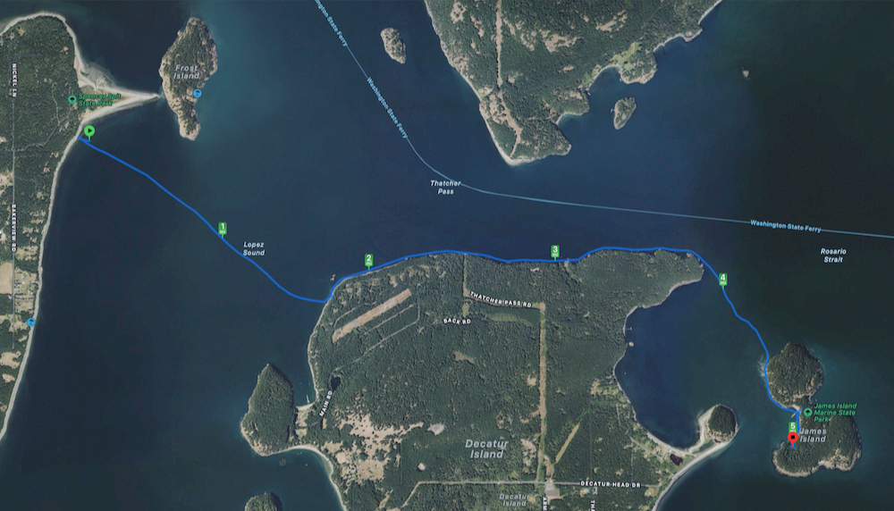
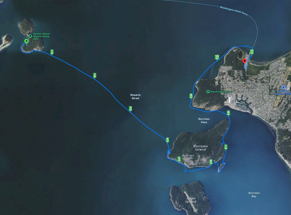
- Day 4: 11 mi to Anacortes
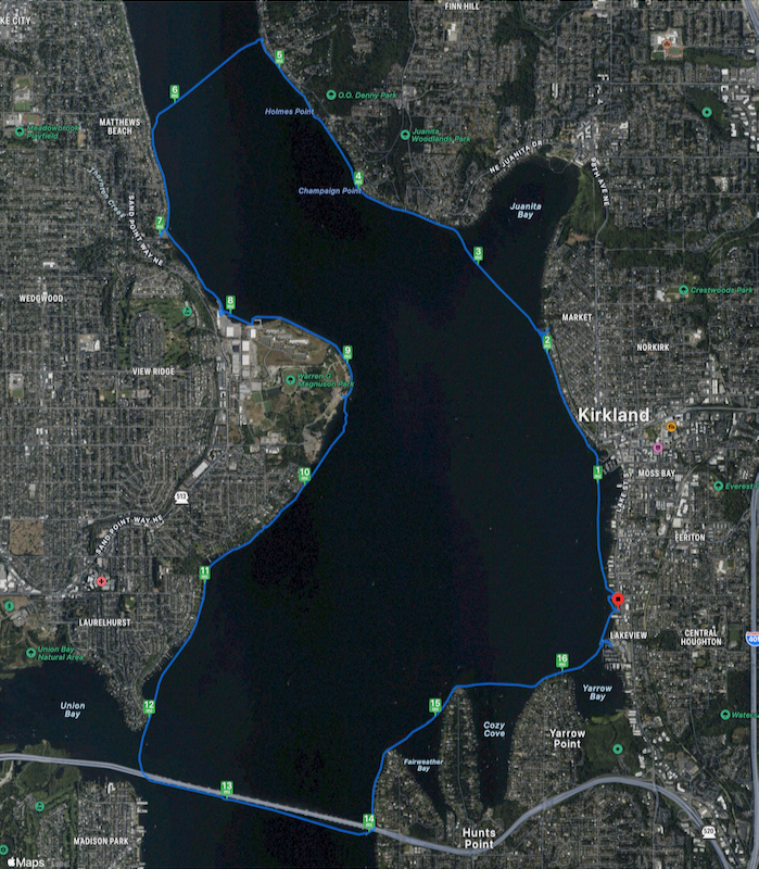
Lake Washington Loop, April 13
This was a practice workout for next weekend's longer kayak trip. As always, fancy houses to look at. Nice kayaking weather.
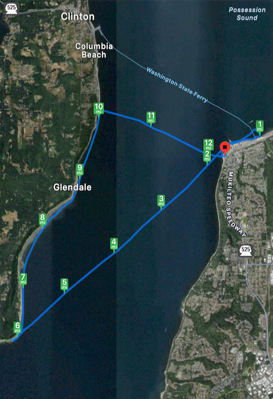
Mukilteo-Whidbey, Jan 21
- 12 mi between Mukilteo and Whidbey Island
My plan was to cross to Whidbey and catch the (free) ferry back. There was light rain the whole trip.
Late afternoon from Mukilteo Lighthouse Park, I paddled over to the ferry being loaded and crossed its parked wake; it was full of interesting squirrelly eddies. A crewman from the bridge stayed outside observing me before the boat left. Afterward, I saw a harbor seal feasting on a fish, flipping it up as it ate, in silhouette only the head and bones remaining.
Crossed SW to the tip of Whidbey. Above the clouds, the sun was setting with yellow brightness and it converted the water into golden moving sand. Looking back (NE), it was icy gray, with a rainbow. The sky was a gradient between the two with some tiny spots of blue.
The crossing was good practice for keeping a course against angled rollers and wind. It was mostly dark when I reached the island tip. However, light from the mainland reflecting from the clouds never allowed real darkness. Heading toward the Whidbey ferry, the shoreline was kind of boring in the shadows, but the house lights were interesting.
A ferry was leaving just before I got to the ferry dock. I estimated it would take longer to wait for the next ferry than cross on my own (turned out pretty true), so I turned east. Against the Whidbey shoreline, there had been no wind, however, a stiff wind was against me all the way to the mainland beach. It was good exercise and good technique practice. Tired and yawning on the way home.
